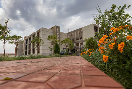
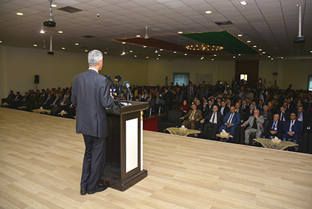
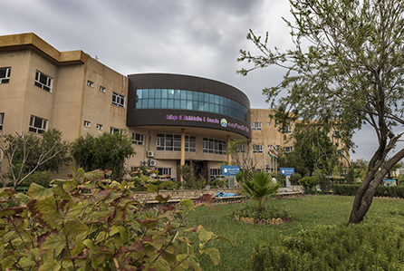
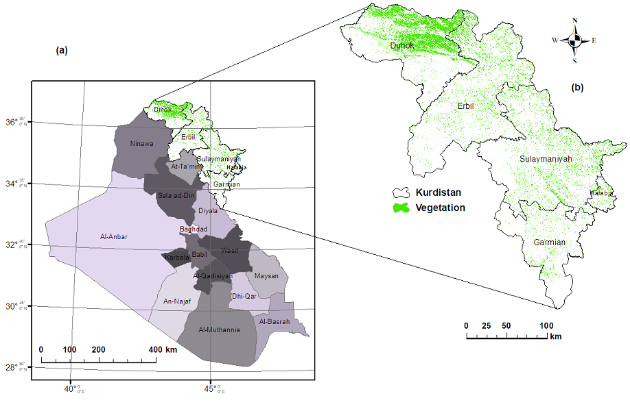
Applied Remote Sensing and GIS Center at the University of Zakho completed a project of "Mapping and Estimating Vegetation Coverage in Iraqi Kurdistan Region".
This project is conducted for the General Directorate of Horticulture, Forestry and Rangeland, Ministry of Agriculture and Water Resources (funder). The main objective of this project was to map and estimate the ratio of the vegetation coverage in Kurdistan Region-Iraq. This objective led to achieved several other objectives included:
* Map and estimate the vegetation coverage over whole Kurdistan Region;
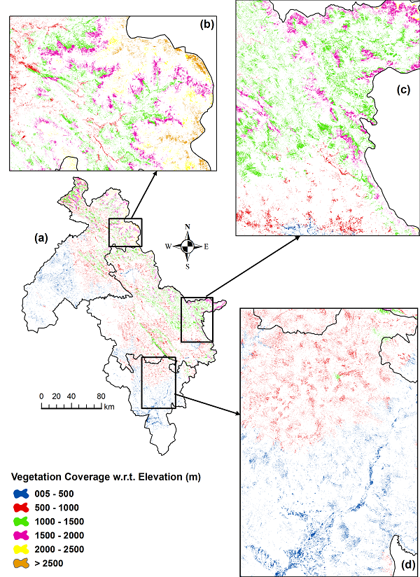
* Map and estimate the vegetation coverage based on the elevation (mean sea level) over whole Kurdistan Region;
* Map and estimate the vegetation coverage for each district within Kurdistan Region;
* Map and estimate area of all artificial forests (planted forest) over the whole Kurdistan Region;
It worth to mentioned that this project started in 2015 and have been approved and ratified latterly. Moreover, this project implemented in cooperation with Salahaddin University, University of Garmian and Directorate of Forestry in Duhok.

